Loading Multispectral Images
Outline of steps to load images in QGIS, ERDAS Imagine and ArcGIS Pro
Loading Multispectral Images in ERDAS, ArcGIS and QGIS
This post briefly outlines the steps to load multispectral images into different GIS software. This is intended as a brief reminder for my future-self when I am switching between tools. It covers the main steps to bring in images as separate bands or to create a single combined image based on multiple bands.
ERDAS Imagine
ERDAS image is very good at handling mutlispectral images and processing. I find it very easy to use, although this might be because
I first learned these things in University using ERDAS.
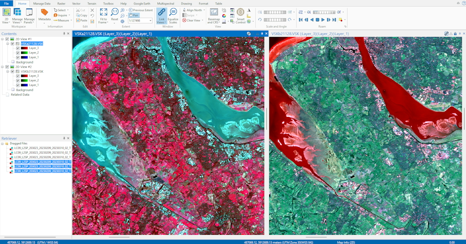
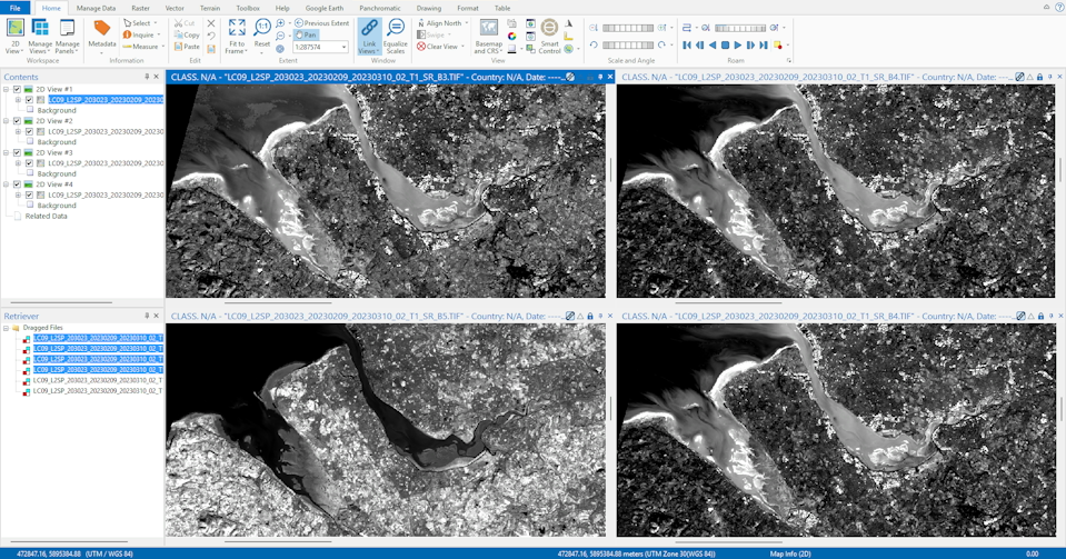
Images can be brought in as separate bands or presented in a combination of bands. To combine images, bring the images into the software (drag and drop) select
the bands you desire, right click and select "create virtual stack". This will then create a combined image using the selected layers. In the top ribbon
there is a selector to choose the combination of bands for RGB. It also has preset combinations for common sensors.
ArcGIS Pro
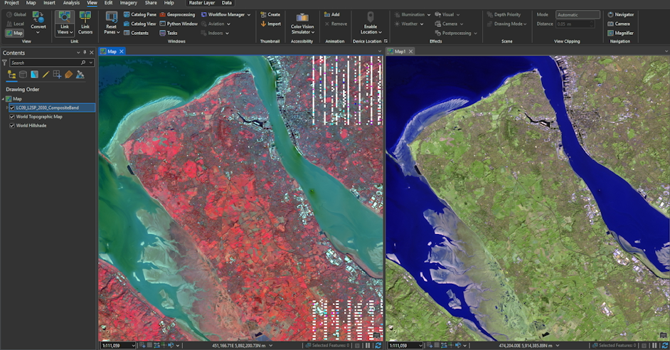
Bands can be brought into ArcGIS individually in the same way that any raster would be. To combine bands into a single composite image
use the "Composite Bands" geoprocessing tool (found in Data Management Tools). Choose the rasters for each band, an output name and then
select "run". The combined image will appear as a layer.
To select the bands to display, select Raster Layer -> Band Combination in the top ribbon. Combinations of bands can be saved for ease of future use.
QGIS
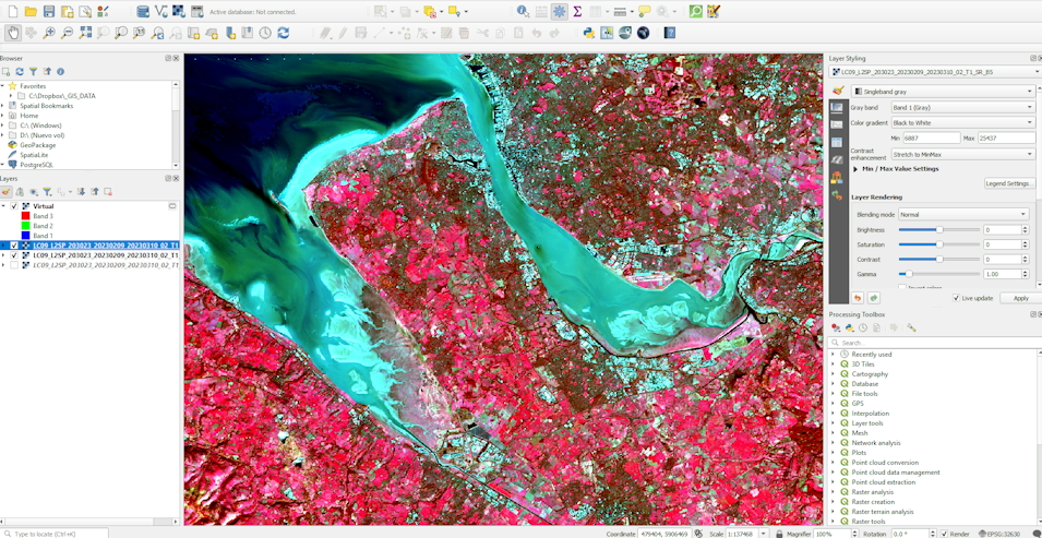
QGIS, like ArcGIS Pro, also uses a tool to combine bands into a "virtual raster". This is available via the menu (Raster -> Miscellaneous -> Build Virtual Raster) or as a geoprocessing tool. In the tool dialog
choose the bands you desire and import. For a composite image remember to select "place each input file into a separate band". After import you can click on the layer and in the styling assign the bands to RGB as required.
Conclusion
All of the above tools enable bands to be combined into a single raster image. All three do a good job, although personally I find ERDAS Imagine to be the most
straightforward for quickly reviewing and combining bands. It is simple and responsive, allowing multiple bands to be selected and combined easily. Images can also be
viewed side by side.