What's in this section?
This section contains a selection of resources, links, articles and demos related to all things geospatial.
Handy Links and Demos
This section contains some handy links for geospatial shennanigans, including among other things: public datasets; general geodesy, geospatial development, geospatial software and drones. Essentially, anything that I have found interesting in this area that I think I am likely to want to return to at some point in the future. In due course, I'll follow up many of these topics in more detail by creating specific blog posts.
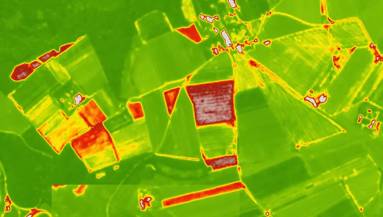
Geospatial for Agriculture
A separate section for geospatial in agriculture...Demos and Playthings
Geo-Spatial Development
Mapping in D3 https://www.d3indepth.com/geographic/
GeoPython https://geopython.github.io/
GeoPandas https://geopandas.org/en/stable/
QGIS PyQIS Developer Cookbook https://docs.qgis.org/testing/en/docs/pyqgis_developer_cookbook/
PROJ: spatial ref transforms https://proj.org/en/stable/
GDAL : Utils and Translation library https://gdal.org/en/stable/index.html
Leaflet: JS library for interactive maps https://gdal.org/en/stable/index.html
Folium: Python helpers for interacting with Leaflet.js https://python-visualization.github.io/folium/latest/index.html
OpenLayers https://openlayers.org/
Mapbox GL JS: Client side js library for web maps https://docs.mapbox.com/mapbox-gl-js/guides/
OSMAPI: Python wrapper for OSM API https://pypi.org/project/osmapi/ On Github: https://github.com/metaodi/osmapi?tab=readme-ov-file
OSM LIbs: Wiki on various libraries for OSM https://wiki.openstreetmap.org/wiki/Software_libraries
Nevermind the Geoids
This site from one of the professors at the ITC in the netherlands provides a nice introduction to geodesy. It discusses coordinate systems and projections Geometric Aspects of Mapping
search for spatial references: https://spatialreference.org/
Public Datasets
USGA :
https://www.usgs.gov/the-national-map-data-delivery/gis-data-download
https://www.usgs.gov/the-national-map-data-delivery
IL Ordinance Survey Hub: https://osdatahub.os.uk/downloads/open
UK Centre for Ecology and Hydrology. Land cover maps https://www.ceh.ac.uk/data/ukceh-land-cover-maps
UK Office for National statistics. Open Geography Portal https://geoportal.statistics.gov.uk/
Nasa Earth observation: https://neo.gsfc.nasa.gov/
ESRI, World Imagery Way Back https://neo.gsfc.nasa.gov/
Natural Earth. Various includinf boundaries: https://www.naturalearthdata.com/
UK National Lidar: https://www.data.gov.uk/dataset/f0db0249-f17b-4036-9e65-309148c97ce4/national-lidar-programme
UK DEFRA Data https://experience.arcgis.com/experience/753ad2ebd3554fa696885b8c366c3049/page/Open-Data
https://environment.data.gov.uk/apiportal
Open Topography (DEMs): https://opentopography.org/
Various links on lidar (great list of national resources).
https://www.softree.com/free-lidar
ESRI Data Hub https://hub.arcgis.com/search
More links by sensor
ITC Sensor Database : https://webapps.itc.utwente.nl/sensor/default.aspx?view=allsatellites
Landsat Common Band Combinations : https://www.usgs.gov/media/images/common-landsat-band-combinations
Drones / Aerial
Open Aerial Map: https://map.openaerialmap.org/
Calculate Ground Sampling Distance: https://www.3dflow.net/ground-sampling-distance-calculator/ also: https://www.heliguy.com/gsd-calculator/
Flight Planning - Dronelink : https://www.dronelink.com/
Flight Planning - DJIFlightPlanner : https://www.djiflightplanner.com/
Open Source AutoPilot : https://px4.io/