What's in this section?
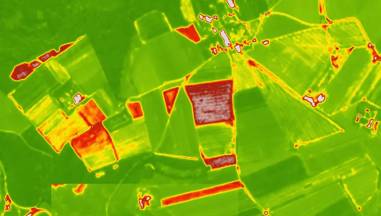
This section contains a selection of resources, links and articles related to geospatial data usage in agriculture, specifically with regard to remote sensing using satellite or drone
imagery. It is fairly bare-bones at the moment but I anticipate this to be a growing area that is worthy of its own section.
At present this is very much a work in progress. I will be adding as I do more research.
General Intro to GIS in agriculture
A few intro videos that provide good intro to some aspects to GIS in agriculture. Some are adverts (e.g. for DJI drones) but nevertheless provide a nice introduction.